Valley of Fire State Park in Nevada is full of stunning red rocks and even some petroglyphs from over 2,000 years ago. Many of these beautiful structures can be seen from the roads that cross through the park. Short hikes offer viewpoints of varying landscapes throughout the valley. Here are the top things to do and see in Valley of Fire.
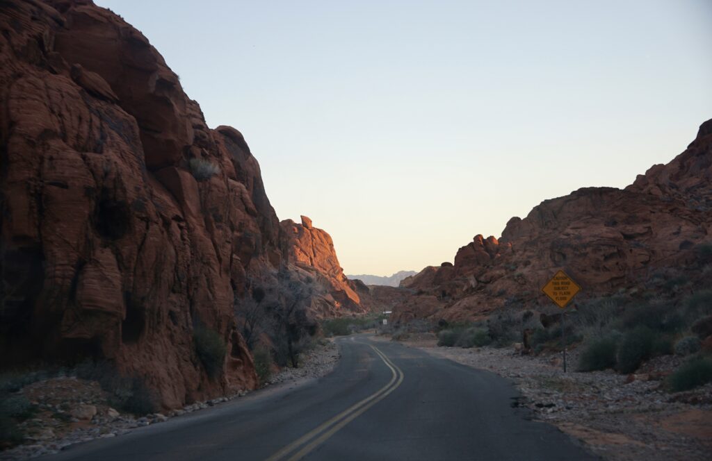
In 1912 a road named the Arrowhead Trail that connected Salt Lake City to Los Angeles was constructed. This road passed through what’s now the state park. In the 1920s, a AAA official traveling along the Arrowhead Trail at sunset named the area “Valley of Fire”. This official said it looked like the entire valley was on fire.
The gorgeous red rocks in Valley of Fire were originally giant sand dunes during the Jurassic age. Geologists estimate they were more than 3,000 feet high. The grains of sand eventually solidified into the red Aztec Sandstone we see today. The rocks have been fractured by the movements of the earth’s crust, and further shaped by rainwater and wind. The red color you see comes from iron oxide. Not all rock here has been stained from iron oxide, so you also see white and tan rock in the area.
What you can see by car:
A large area of Valley of Fire can be seen by driving along the 2 roads within the park. You will drive up and next to large red rocks, along tan domes, to beautiful overlooks, and you may even spot big horn sheep along the road.
The road from the Visitor’s Center to White Domes Trailhead parking lot offers the most scenic drive in the park.
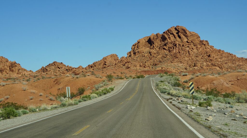


Fire Canyon is easily viewed from the parking lot. Here, the extremely dark red rock contrasts greatly from the tan rock just in front of it.
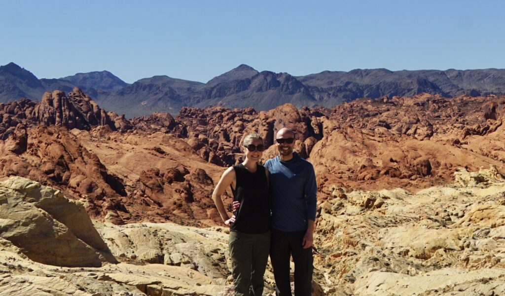
The best view in the Rainbow Vista area is the view from the road. A panorama of multicolored rocks spread out in the distance. Far behind them lie large dark mountains.
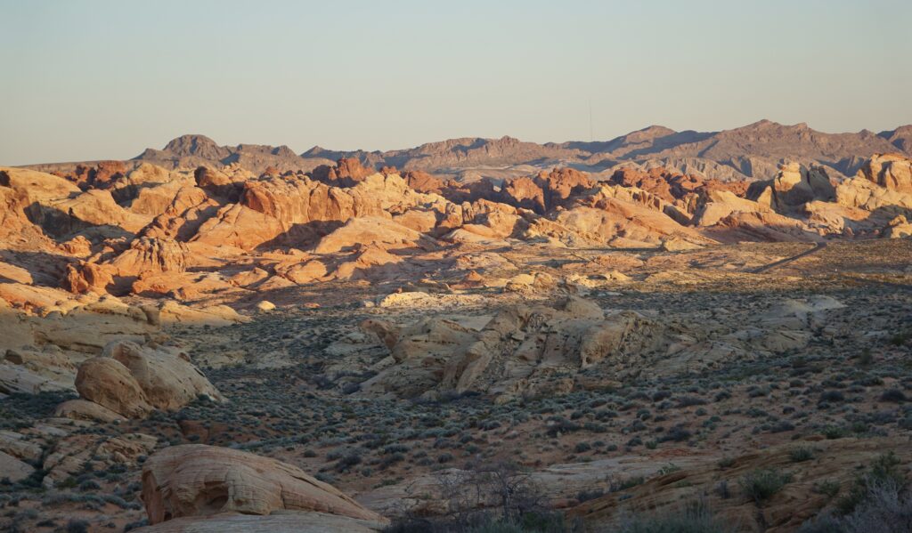
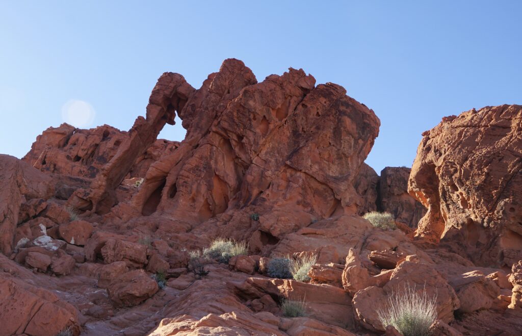
Elephant Rock can be spotted just before you reach the parking area for the elephant rock hike. For a better view, walk about a block to the base of the rocks that the structure is nestled within.
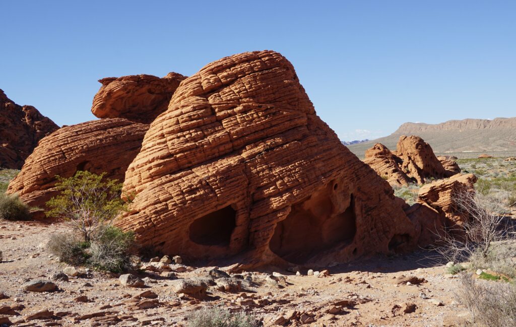
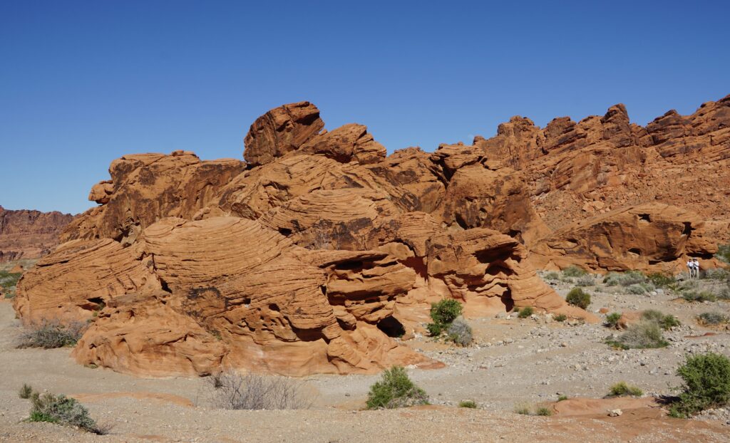
The Beehives are interesting red mounds that are easily seen from their parking lot. A few resemble beehives, hence the name.
Hikes:
Most of the common hikes in the park range from 0.75 to 2 miles long. Therefore it’s possible to complete all of the hikes listed below in a day.
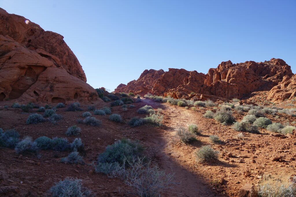
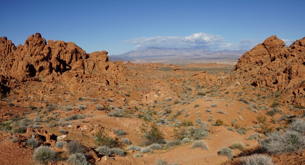
Elephant Rock Trail (0.2 mile total out and back) or Elephant Rock Loop (1.2 mile loop): The loop leads you along a well worn trail with green shrubs scattered about. This trail heads up and into the fiery red rocks. Remember to turn around periodically throughout the walk. Shortly into the hike a gorgeous and expansive view of red jagged rocks speckled with green patches of shrubs rewards those that turn and look back. At nearly the end of the loop you pass Elephant Rock. This red rock is in the shape of an elephant and sits upon a shelf of other red rocks. If you start the trail in reverse (walking left), you will reach the elephant rock in just 0.1 mile and can turn back from here.

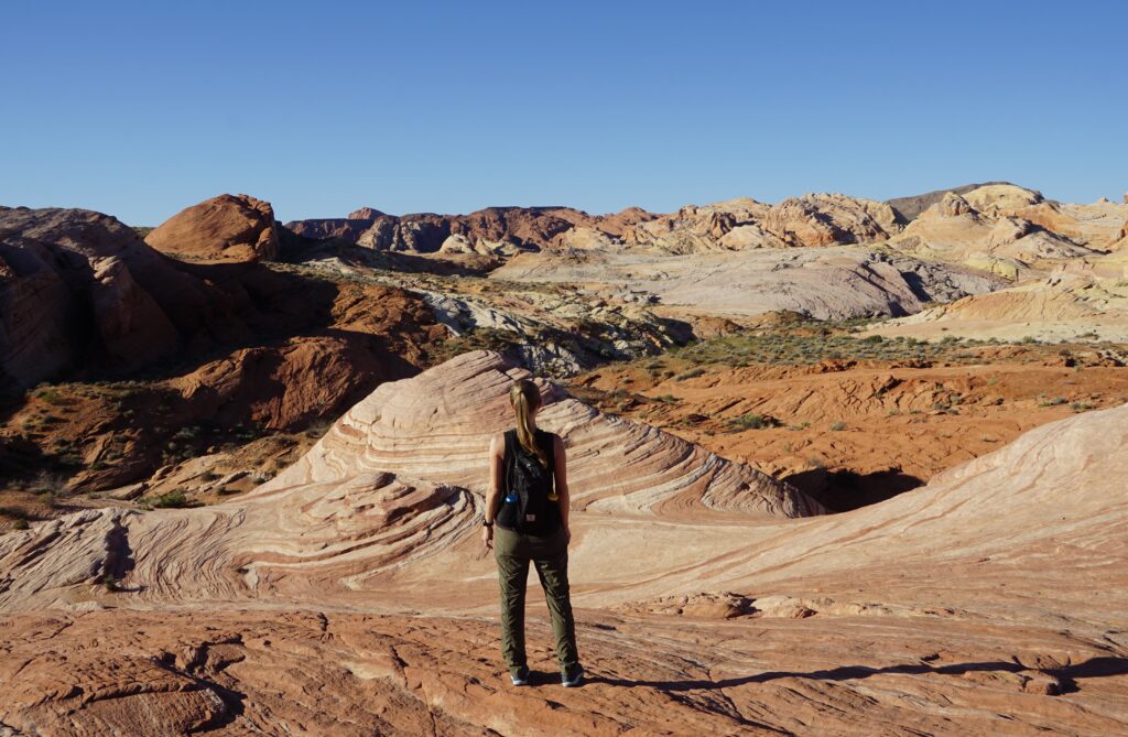
Fire Wave Trail and Seven Wonders Loop (1.8 mile loop): This hike starts as the Fire Wave Trail. It leads past the towering Gibraltar Rock and along what resembles red dried lava. Heading downhill, you come upon a beautiful array of white, orange, and red rock with green plants adding an extra splash of color. Soon you reach the end of the Fire Wave Trail at which point you can either turn back or continue on along the Seven Wonders Loop. The loop follows the wash along yellow and pink rock and eventually between increasingly large pink and tan walls. After the trail crosses the main road, it continues along towering orange and tan rocks. It is not as well marked from here on and we actually lost the official trail, but with the aid of a hiking app we found our way back to our car. It would be a good idea to download a trail map for this loop before starting.

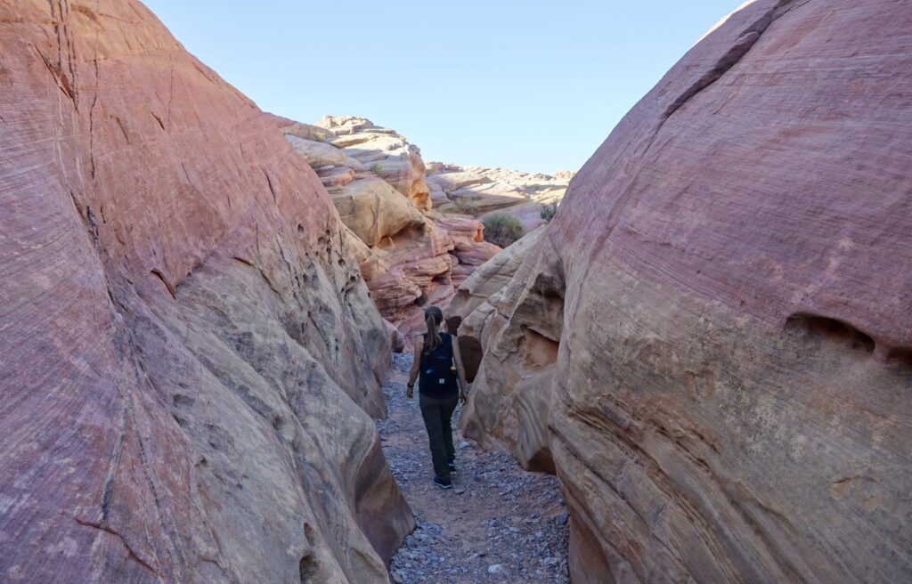
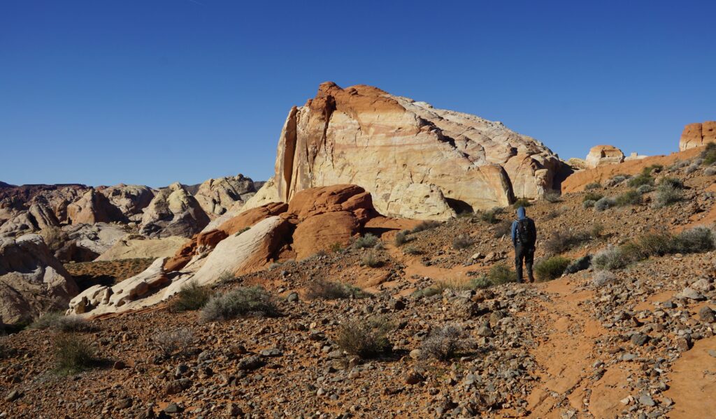
White Domes Trail (1.1 mile loop): This trail is named for the large white domes at the start. The trail continues along varying colorful desert landscapes including a slot canyon. Then it finishes with a stretch of red rocks before rounding back to the parking lot. This trail can be combined into a loop with Fire Wave and Seven Wonders Loop. Download a map of the hike ahead of time to help navigate your route.
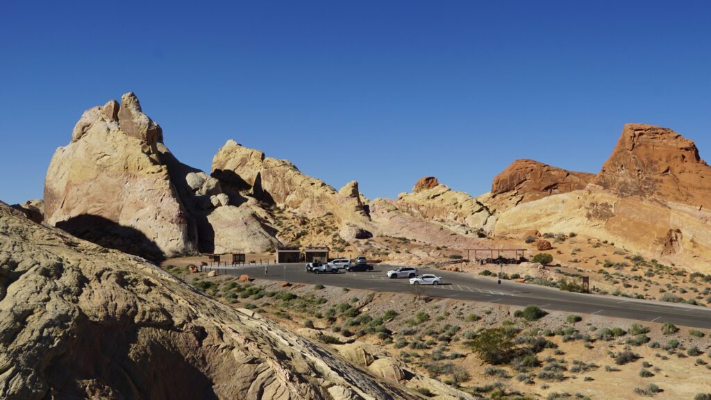
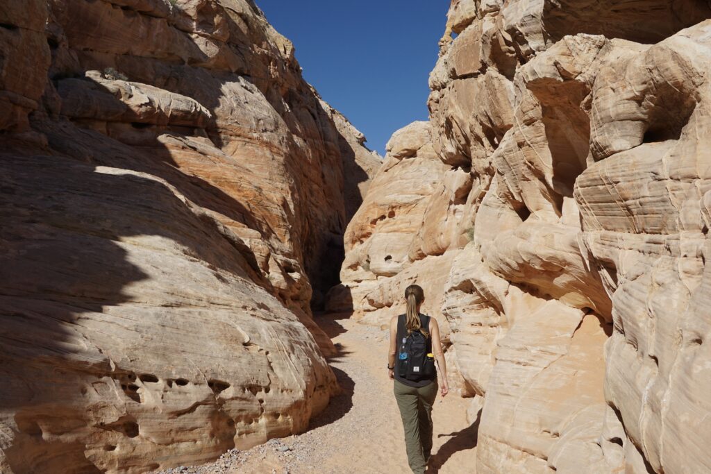
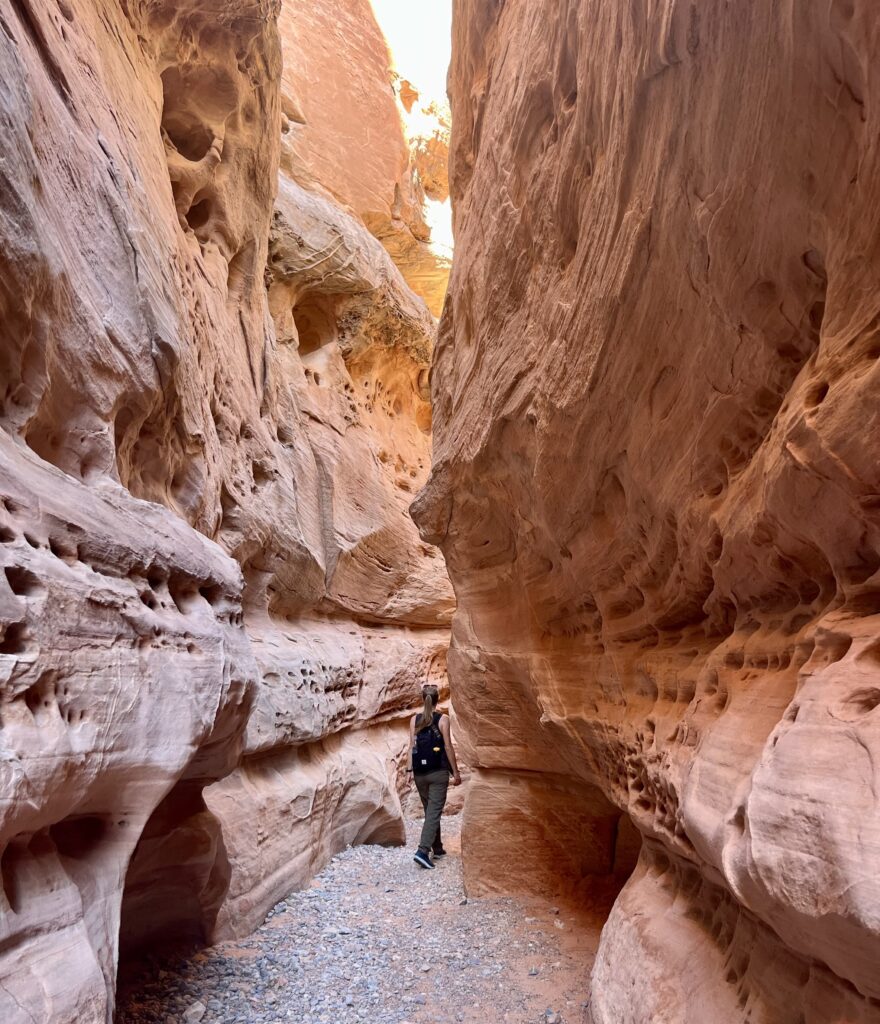
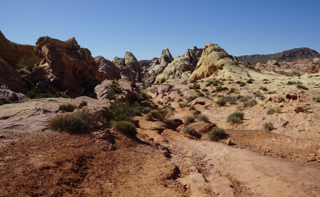
Rainbow Vista Trail (1 mile total out and back): This sandy trail is short and beautiful. You will hike between towering red rocks. The sign advertises a gorgeous view at the end, but the best view in the area is actually from the other side of the road in the parking lot. Therefore, enjoy the walk and don’t expect too much from the view at the end of the trail.
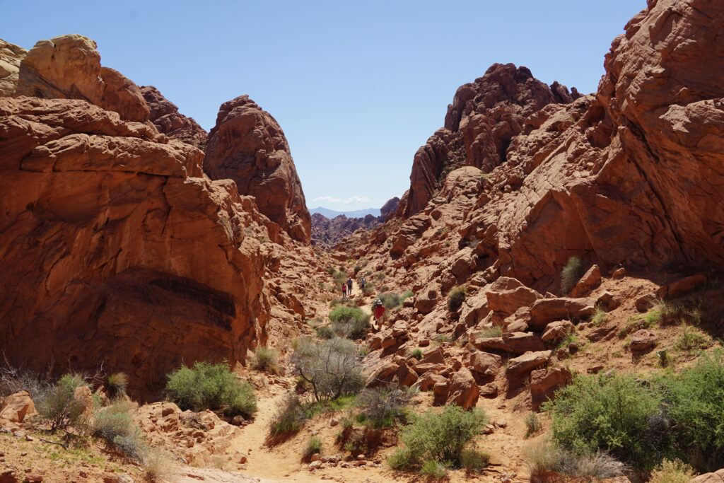
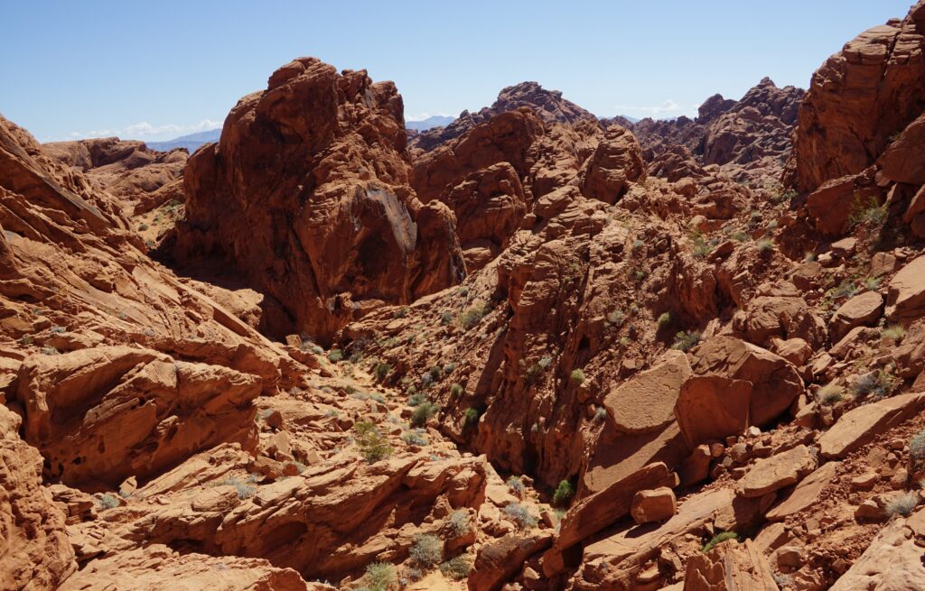
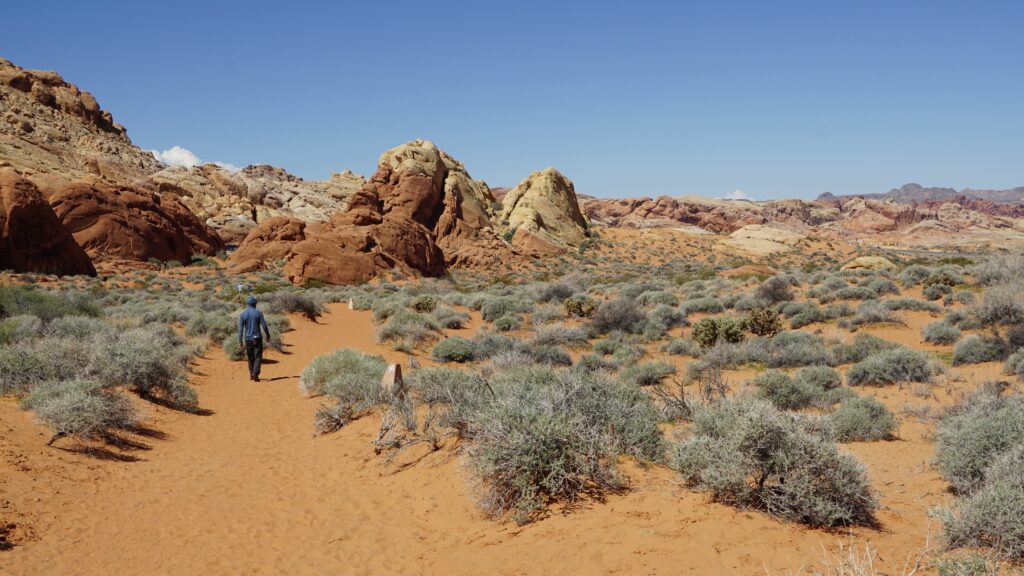
Mouse’s Tank Trail (0.75 miles total out and back): This is another short sandy trail. Despite being named after the small watering hole at the end, the highlights are the petroglyphs on the rocks all along the hike. Look for the black surfaces on the rock to help spot them. The Basketmaker culture that lived in this area over 2,500 years ago carved these petroglyphs.


Plan your visit:
Valley of Fire State Park is located just over an hour northeast of Las Vegas. Therefore, it’s possible to see the park and explore most of the main hikes in a day trip. If you want a more relaxed visit, consider camping. The park holds over 70 campgrounds as well as RV sites.
The park is open from sunrise to sunset. You are only allowed within its borders outside of these hours if you are camping. Campers must remain inside the camping areas after sunset. The least crowded time is the first couple of hours after sunrise.
October to April present the best time to visit Valley of Fire when the temperatures are milder. Many of the trails close for safety purposes between May and September due to hot weather.
All sites and trails mentioned in this post are clearly labeled on the map that is provided as you drive through the entrance. Enjoy Valley of Fire for yourself.

Leave a Reply